|
|
|
|
|
|
|
|
|
|
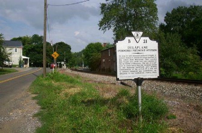
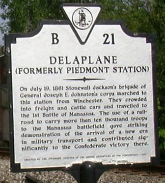
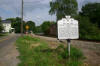
Delaplane, VA. Junction of US-17 and VA-710. |
|
|
|
|
|
|
|
|
|
|
|
|
Stonewall Jackson history marker. |
|
|
|
|
|
|
|
|
|
|
|
|
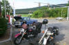
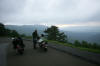
Rest stop at Linden, VA (SR-55) on way to Front Royal and the beginning of the Shenandoah National Park. |
|
|
|
|
|
|
|

|
|
|
|
|
|
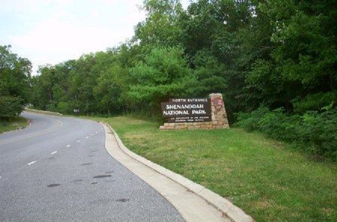
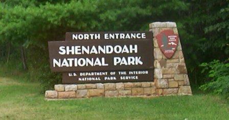
Entrance to the Shenandoah National Park, VA. |
|
|
|
|
|
|
|
|
|
|
|
|
|
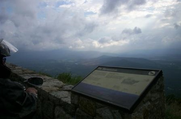
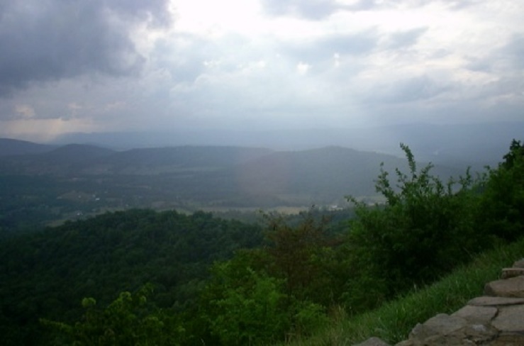
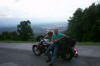
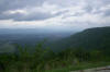
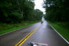
Along the Skyline Drive in the Shenandoah National Park. |
|
|
|
|
|
|
|
|
|
|
|
|
|
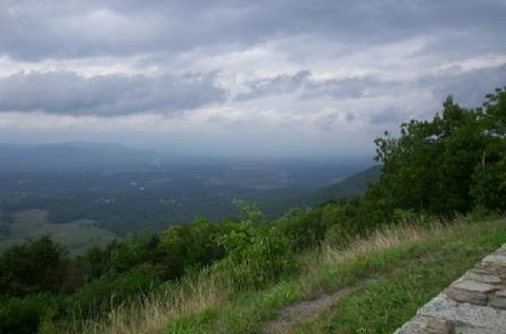
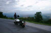
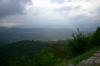
Along the Skyline Drive in the Shenandoah National Park. |
|
|
|
|
|
|
|
|
|
|
|
|
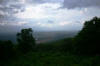
Along the Skyline Drive in the Shenandoah National Park. |
|
|
|
|
|
|
|
|
|
|
|
|
Along the Skyline Drive in the Shenandoah National Park. |
|
|
|
|
|
|
|

|
|
|
|
|
|
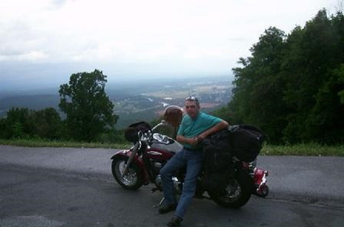
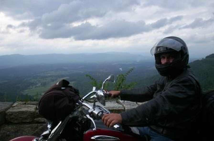
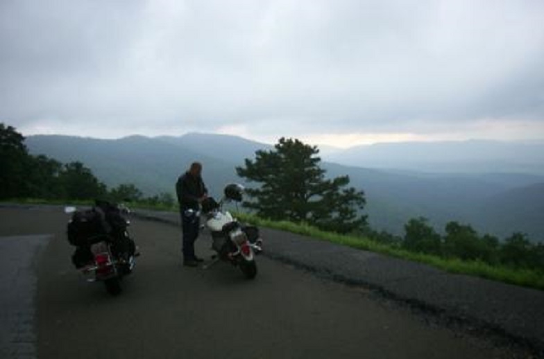
Picture of me along the Skyline Drive in the Shenandoah National Park. |
|
|
|
|
|
|

|
|
|
|
|
|
Along the Skyline Drive in the Shenandoah National Park. |
|
|
|
|
|
|

|
|
|
|
|
|
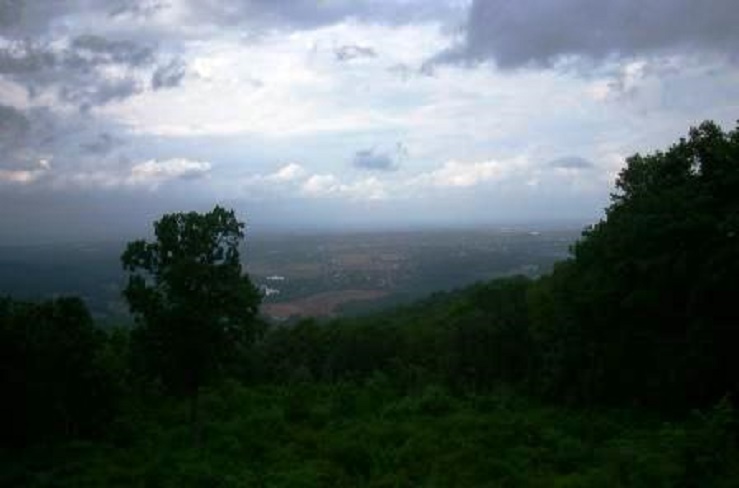
Along the Skyline Drive in the Shenandoah National Park. |
|
|
|
|
|
|
|

|
|
|
|
|
|
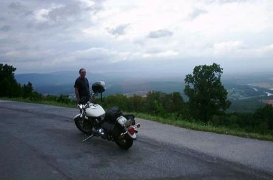
Picture of Dave along the Skyline Drive in the Shenandoah National Park. |
|
|
|
|
|
|
|
|
|
|
|
|
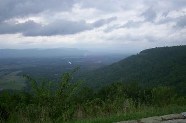
Along the Skyline Drive in the Shenandoah National Park. |
|
|
|
|
|
|
|
|
|
|
|
|
Along the Skyline Drive in the Shenandoah National Park. |
|
|
|
|
|
|
|
|
|
|
|
|
|
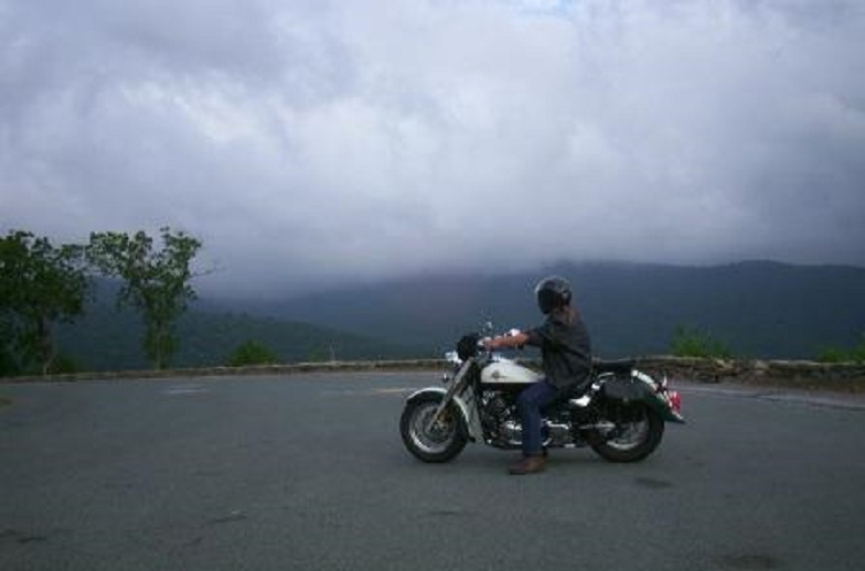
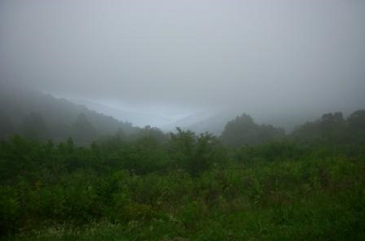
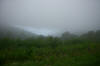
Along the Skyline Drive in the Shenandoah National Park. The clouds/fog is closing in on us. |
|
|
|
|
|
|
|
|
|
|
|
|
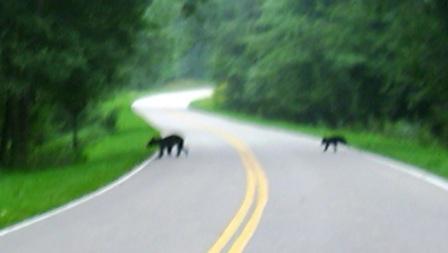
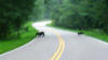
Mama black bear and three cubs crossing the road in front of us along the Skyline Drive in the Shenandoah National Park. First time for me or Dave seeing live bears in the wild. |
|
|
|
|
|
|
|
|
|
|
|
|
Along the Skyline Drive in the Shenandoah National Park. |
|
|
|
|
|
|
|
|
|
|
|
|
|
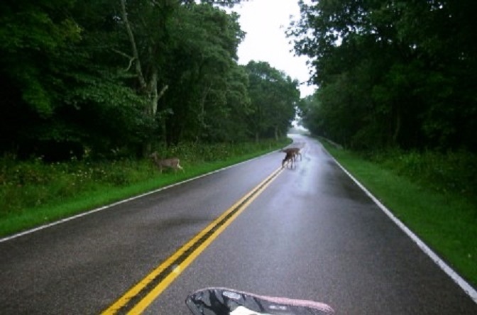
Three deer getting a drink of water off of the road on the Skyline Drive. |
|
|
|
|
|
|

|
|
|
|
|
|
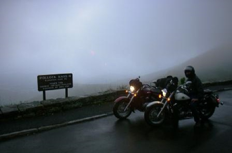
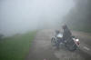
Pollock Knob, Elev. 3580', around mile post 43 along the Skyline Drive in Virginia. This was the last picture of the day due to the very hard rain and heavy clouds we rode into. |
|
|
|
|
|
|
|